
L’Estany amb el seu conjunt d’estanyols, llacunes i brolladors constitueixen el sistema càrstic més important de Catalunya.
Actualitat
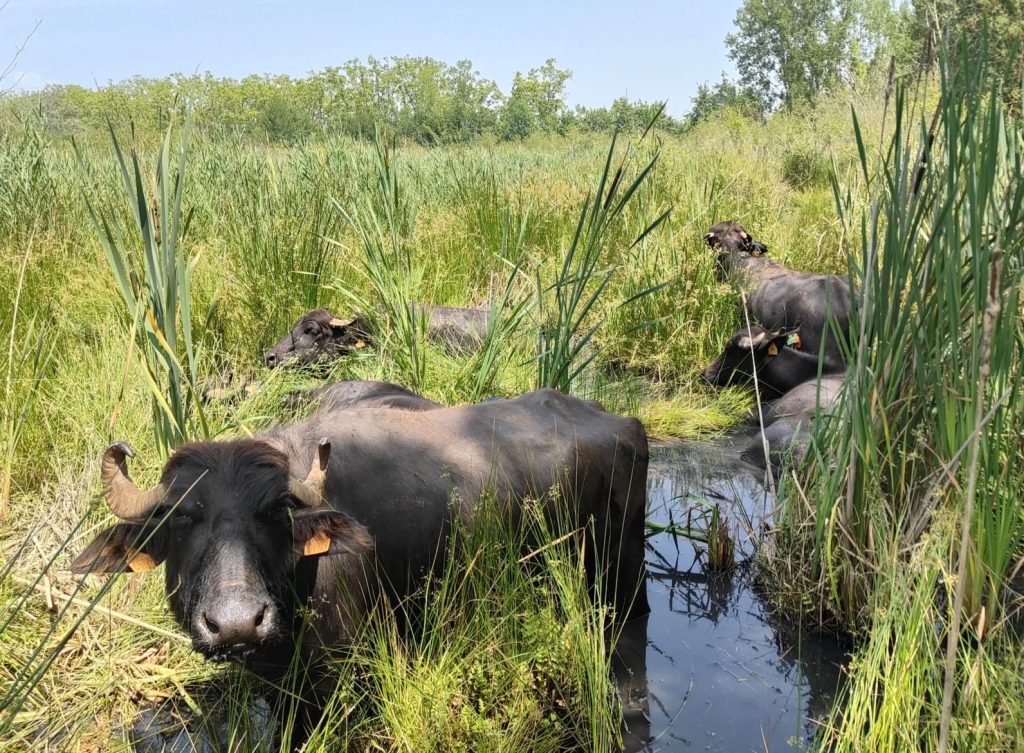
El Consorci de l’Estany torna a reprendre la gestió d’aquest paratge a través d’aquests exemplars amb la possibilitat que aquests es puguin traslladar en un futur a la zona de les llacunes de Can Morgat. […]
Llegeix més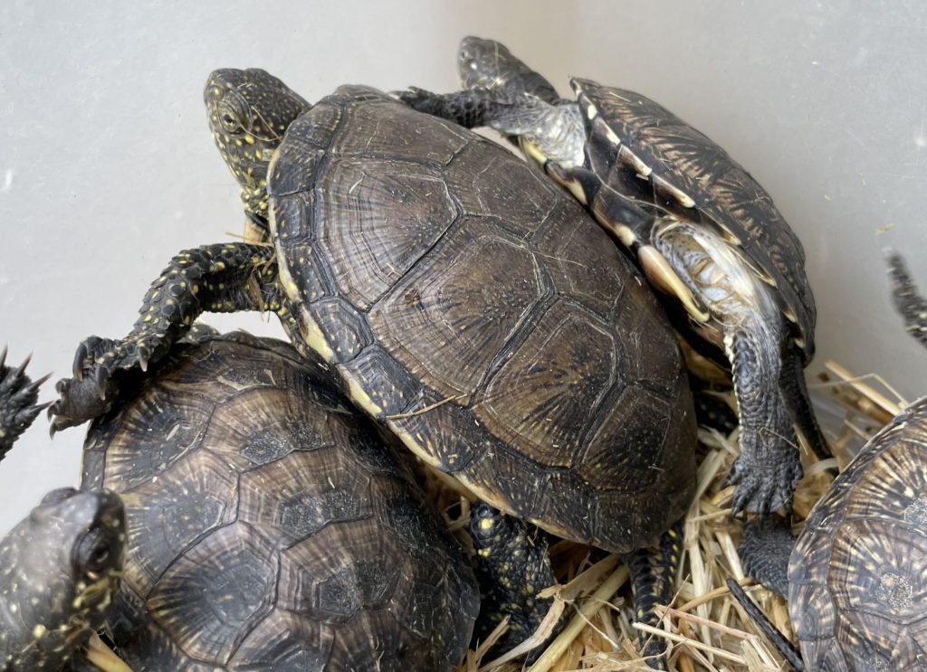
El Consorci de l’Estany allibera 15 tortugues d’estany a les llacunes de Can Morgat. Amb els exemplars alliberats avui, des de l’any 2010, se n’han alliberat un total de 197 en diferents punts de l’entorn […]
Llegeix més
El Consorci de l’Estany millora les passeres de Lió i del paratge Corominas. Ambdues actuacions, que s’enllestiran en els propers dies, s’han pogut portar a terme gràcies una subvenció de la Diputació de Girona. El […]
Llegeix més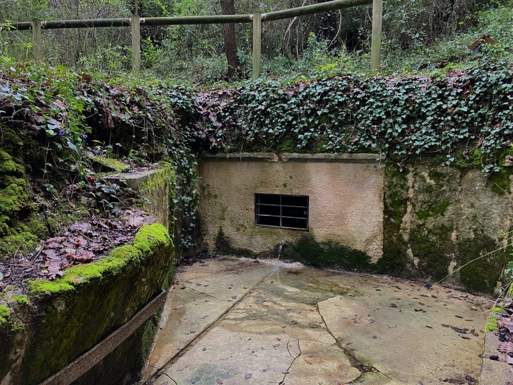
Millora de la Font del Camp de Baix al Bosc de Can Morgat. Aquest mes de març el Consorci de l’Estany ha finalitzat amb èxit la millora i posada en marxa de la Font del […]
Llegeix més- 1
- 2
- 3
- …
- 25
- Entrades següents »


CONSORCI DE L'ESTANY
DE DILLUNS A DIVENDRES
DE 9 H A 14 H
PLAÇA DELS ESTUDIS, 2
17820 - BANYOLES (GIRONA)
972 576 495
consorci@consorcidelestany.org

CONSORCI DE L'ESTANY
DE DILLUNS A DIVENDRES
DE 9 H A 14 H
PLAÇA DELS ESTUDIS, 2
17820 - BANYOLES (GIRONA)
972 576 495
consorci@consorcidelestany.org
Imatges web: Consorci de l'Estany / Sílvia Puig Planells
Disseny web: Estudi Oliver Gràfic
CONSORCI DE L'ESTANY
DE DILLUNS A DIVENDRES
DE 9 H A 14 H
PLAÇA DELS ESTUDIS, 2
17820 - BANYOLES (GIRONA)
972 576 495
consorci@consorcidelestany.org
Imatges web: Consorci de l'estany / Sílvia Puig Planells
Disseny web: Estudi Oliver Gràfic